Villages
Crete's villages retain coherence where public squares, water, roads, churches, memory, and daily routines still make the settlement legible. Read them as public places first: what can be seen, how to reach it, and when the visit will hold.
I think a useful guide to Cretan villages has to start with plain facts: where the village is, what there is to see, how the road or bus works, whether anything needs a ticket, and which season suits a visit. The romance comes later, if the place earns it. I'm a foreigner still learning these places, so I let villages make their own case.
The villages in this section are lived-in places anyone can visit, each with a clear reason to stop. Krasi is built around a protected plane tree, stone waterworks, and the road between Malia and the Lasithi uplands. Archanes sits inland from Heraklion with old lanes, the Archaeological Collection, and Juktas in view. Anogeia is a mountain municipality on Psiloritis, tied to wartime memory, music, and the road toward Nida Plateau. Matala is a south-coast village whose beach and Roman cemetery caves give it real archaeology to see, as well as its later 1960s story.
Treat these as short, simple visits to public places. Most village streets and squares have no gate or fee. Specific sites inside or beside them may be different: Matala's Roman cemetery is an archaeological site with published seasonal hours, while buses, commemorations, museums, and mountain extensions need a current check before the day depends on them.
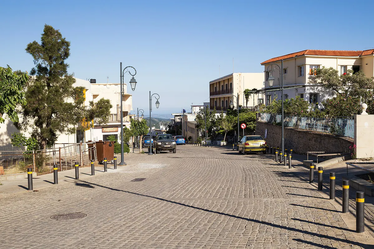
Which Village, And Why
These villages are not interchangeable, and you will rarely combine them in a day. Choose by what you want the visit to be about, and by where you are already based.
- Anogeia — for mountain culture and music. A living highland municipality on Psiloritis, tied to wartime memory and one of the strongest surviving lyra-and-song lineages on the island. Choose it if you want a lived-in mountain village with real cultural weight, and if you plan to push on toward the Nida Plateau. Easiest from Heraklion or Rethymno; it is a climb, so it pairs with a mountain day rather than a beach day.
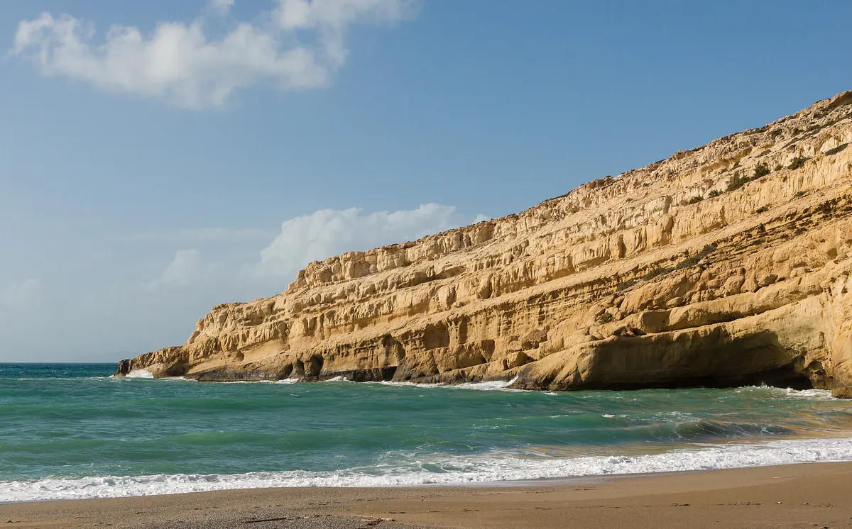
- Matala — for a village you read in a single walk. A south-coast beach village whose Roman cemetery caves in the cliff give it real archaeology alongside its 1960s story. Choose it if you want the sea, a historic site you can make sense of, and a place to eat, all within a short walk. It sits beyond the Messara plain, so it works best from a Heraklion-south or Messara base rather than as a detour.
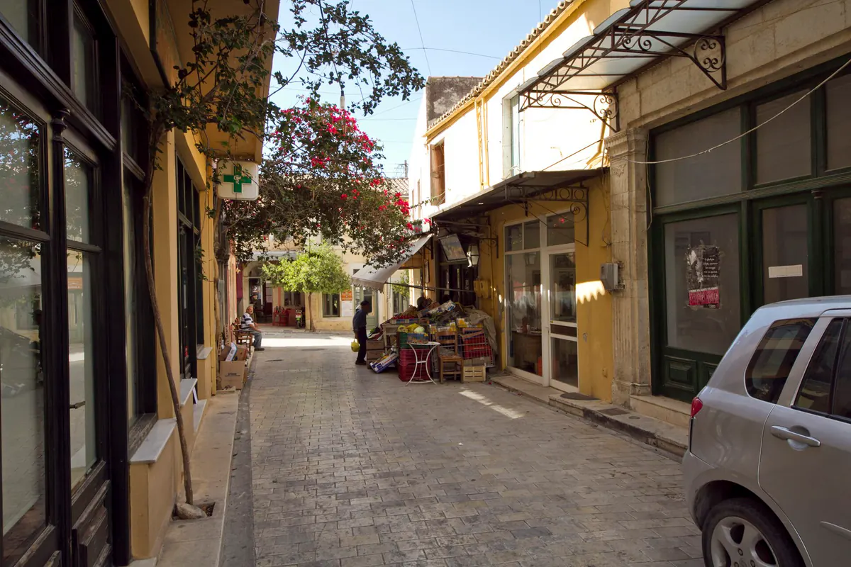
- Archanes — for a village close to Heraklion. An inland village south of Heraklion, useful when you want old lanes, the Archaeological Collection, views of Juktas, the wine country around it, and a slower half-day in central Crete. Choose it from Heraklion when you want something village-sized alongside Knossos and the museum.
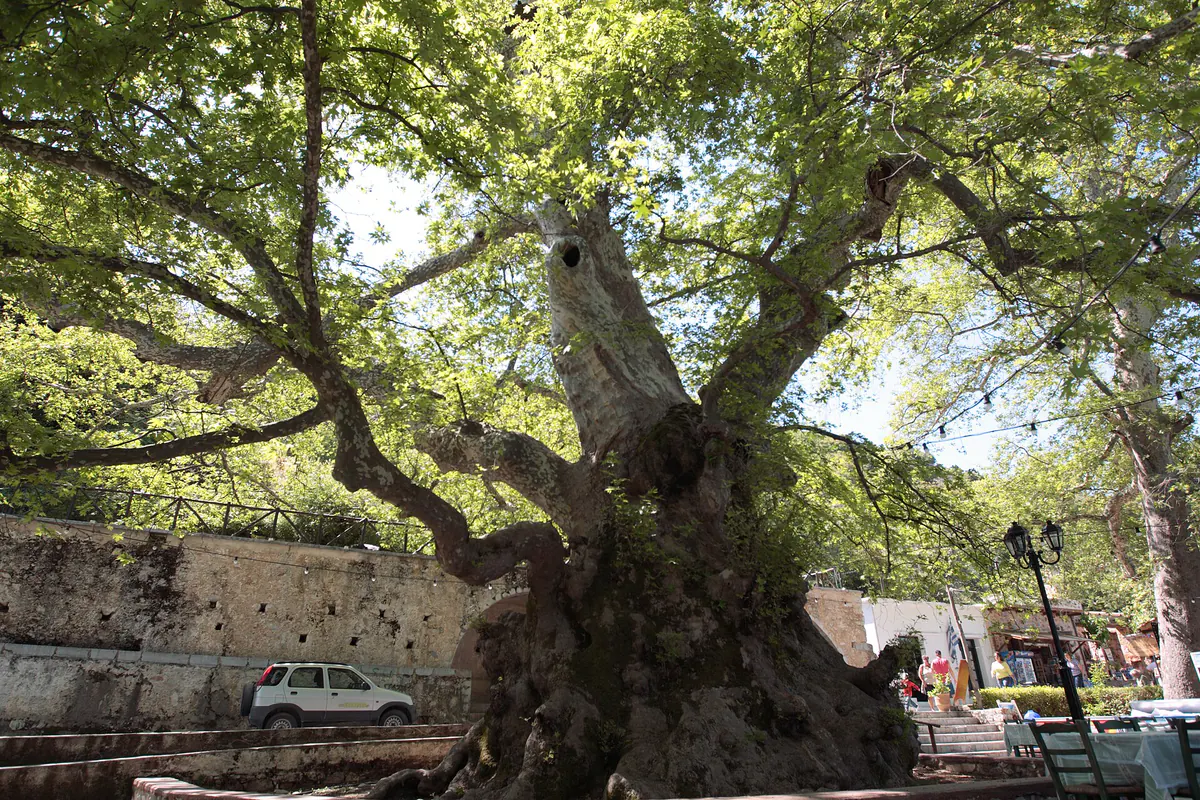
- Krasi — for a short, quiet inland stop. A small village built around a protected monumental plane tree and stone fountains, on the road between Malia and the Lasithi uplands. Treat it as a half-hour pause with a coffee under the tree on the way up to the Lasithi Plateau rather than as a destination in its own right.
If you only have time for one and want the fullest sense of village Crete, I'd take Anogeia; if you want sea and a site together, take Matala; if you are based in Heraklion and want an inland village, take Archanes; if you are already driving up to Lasithi, fold in Krasi.
What To See
In Krasi, the square, the monumental plane tree, and the arched fountains are the heart of it. In Archanes, it's the old lanes, the restored houses, the Archaeological Collection, and the land around Juktas. In Anogeia, it's the village itself, its memorials, its music, and the road up toward Psiloritis. In Matala, the beach, the cliff face, and the Roman cemetery caves all fit into a single walk.
Access And Transport
A car makes all four easiest: Krasi sits inland above Malia, Archanes sits south of Heraklion, Anogeia climbs from Heraklion or Rethymno toward Psiloritis, and Matala sits on the south coast beyond the Messara plain. For buses, use the live KTEL Heraklion-Lasithi and KTEL Chania-Rethymno timetable pages before fixing accommodation or return times.
Hours And Fees
Krasi, Archanes, and Anogeia are public villages with no general village ticket or opening hour. Matala's Roman cemetery is different. The Ministry of Culture Odysseus listing, read on 2026-08-13, gives it as open every day: 10:00-19:00 from 1 April, 10:00-18:00 from 1 October, and 08:30-15:30 from 1 November, at EUR5 full and EUR3 reduced. Archanes' Archaeological Collection needs a current status check before the day depends on it, and the Ministry currently lists the Minoan villa at Vathypetro as closed.
When To Go
April to June and September to October suit most village days: enough life in the squares, easier walking temperatures, and less of a fight for parking. July and August work best early or late in the day. Winter can be rewarding in inhabited villages, but mountain roads, bus frequency, and highland extensions around Psiloritis need a separate weather and timetable check.
Sources & references
- 01Municipality of Anogeia - visitor information
- 02Municipality of Anogeia - access
- 03Ministry of Culture / Odysseus - Roman cemetery at Matala, hours and admission read 2026-08-13
- 04Land of Experiences - old plane trees and fountains at Krasi
- 05KTEL Heraklio-Lasithi timetables
- 06KTEL Chania-Rethymno timetables