The Island
The basics for understanding Crete: its geography, its history, and how its regions differ.
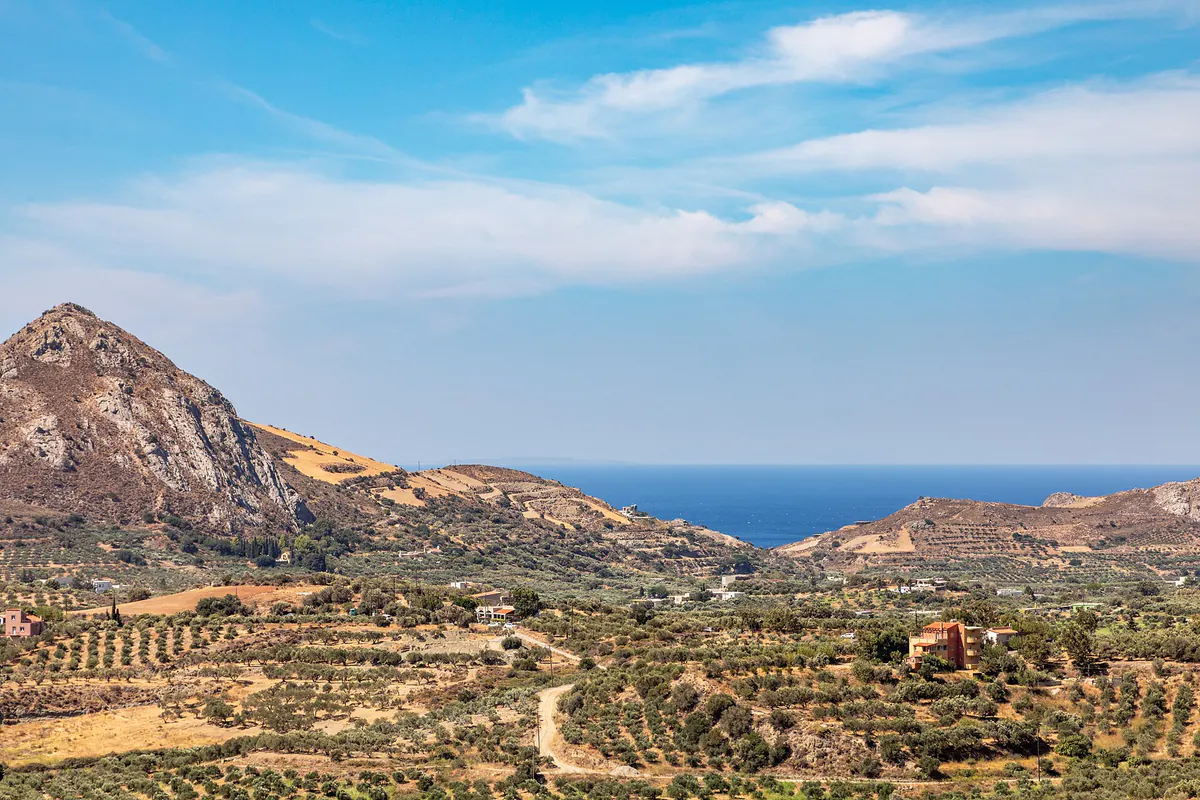
Crete, an island in the south of Greece, is far larger than most people picture it. It runs about 260 kilometers from the far west to the far east, yet is rarely more than 60 kilometers deep from the north coast to the south. That shape is the single most useful thing to hold in your head, because almost everything that frustrates first-timers follows from it. The island reads as small on a map and behaves as large on the road: a spine of mountains runs the length of it, roads bend around gorges and up switchbacks, and a distance that looks like an hour can take two. Plan by driving time, never by the ruler. It is the first thing I tell friends who ask me about Crete.
The north coast is where the island's working life happens: the two international airports, the ports, the four main towns, the university, the hospitals, and most of the resort development. The south coast is the other Crete: fewer roads, smaller settlements, some villages still reached mainly by boat or a single mountain pass. Crossing from one to the other is short in kilometers and long in feeling. If you want a first mental model of the island, picture a long ridge with a busy, connected coast on one side and a quieter, harder-to-reach coast on the other.
The four prefectures, and who each suits
Crete divides into four regional units, west to east: Chania, Rethymno, Heraklion, and Lasithi. They are not interchangeable, and picking the wrong one is the most common way a first trip goes slightly wrong. Chania, in the west, is the one most people fall for: a Venetian-and-Ottoman harbor town, the White Mountains behind it, and the wild south coast within reach. It suits travelers who want landscape and atmosphere over archaeology. Rethymno, in the center-west, is the quieter middle ground: the best-kept old town on the island and a fertile interior, well placed if you want to see both ends without committing to either.
Heraklion, in the center-east, is the practical and archaeological heart: the busiest airport, the great Minoan sites at Knossos and Phaistos, and the Archaeological Museum that makes sense of them. The city itself is a working port with limited charm, so many people visit its sights without basing there. Lasithi, in the far east, is the driest and most remote quarter: Agios Nikolaos and the resort coast, the Lasithi Plateau, and a landscape that rewards travelers willing to drive further for a less crowded, less packaged Crete. For a fuller portrait of each, read Regions & Character.
How to think about a base
Crete is too long to see comfortably from one base, but two well-chosen bases cover most of it. The usual dividing line is the airport: Chania's airport, on the Akrotiri peninsula about 14 kilometers from the city, serves the west; Heraklion's airport, roughly 5 kilometers east of the city center, is the island's busiest and serves the center and east. A common first-trip shape is to fly into one and out of the other, splitting the stay between a western base near Chania or Rethymno and a central-eastern base near Heraklion or Agios Nikolaos, which spares you the long backtrack along the north coast.
The mistake to avoid is treating any single town as a day-trip hub for the whole island. From Chania, the Minoan sites around Heraklion are a long haul each way; from Heraklion, the far west is just as far. Match the base to what you actually came for, and let the mountains, not the map, set your daily range. The mountains always win that argument. Why the distances deceive is worth understanding on its own terms; see Why Distance in Crete Is Deceptive.
What surprises first-timers
Three things catch people out. The first is scale: Crete is not a small island you can circle in a couple of days, and trying to leaves you spending the trip in the car. The second is the north–south difference: the developed, easy north coast is only one face of the island, and the south (rougher, hotter, more African in feel) is a different experience, reached over the mountains rather than around them. The third is the mountains themselves. They hold snow into late spring, they split the island into valleys with their own dialects and characters, and they are the reason every drive takes longer than it looks. Understand the landform first, and the rest of the island stops surprising you. Mostly.
Read on
Also in this guide